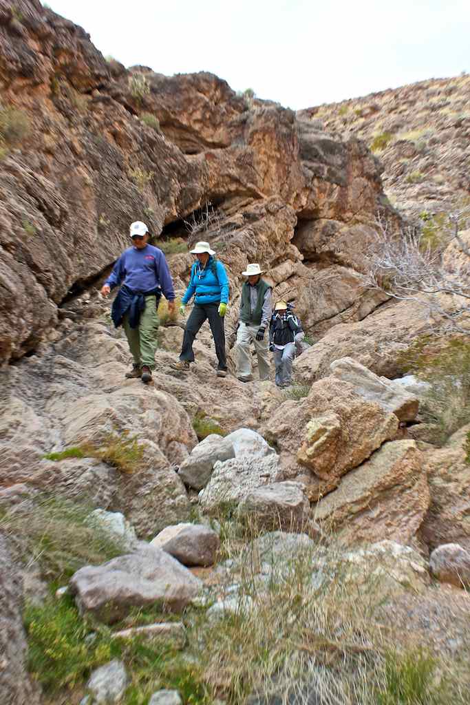
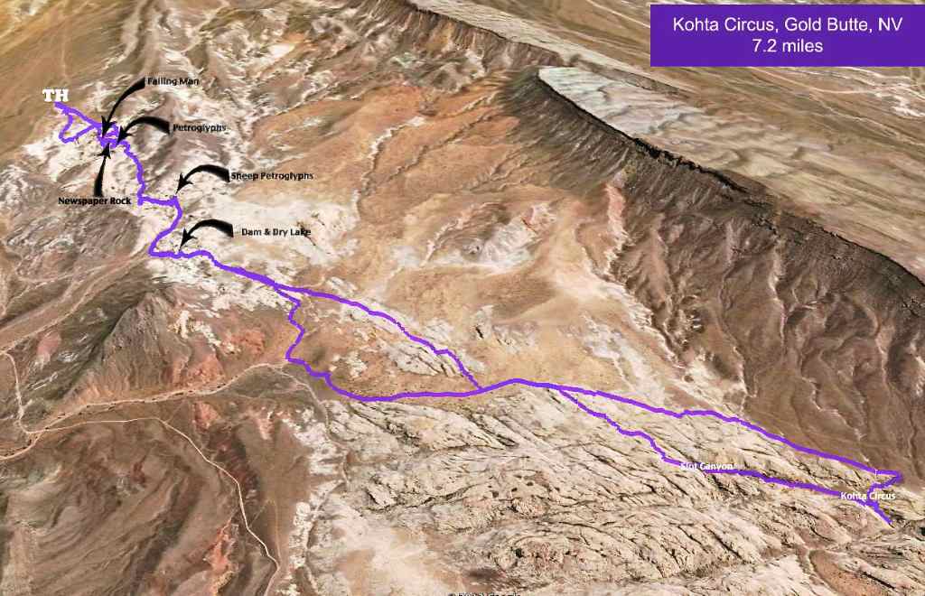
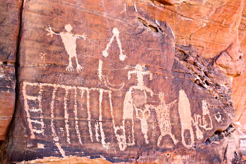
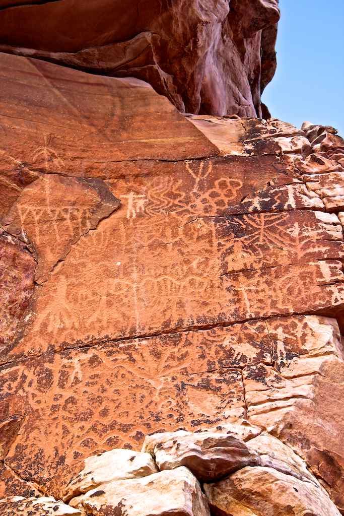
Kay's Hiking and Travel Photo Gallery - February 2012

Copyright:  Those pictures are provided for your personal use only, feel free to download and enjoy it. If you have any questions please e-mail to kay@kayplaza.com
Download Instruction:  Click on the thumbnail to get the large size photo, and right click on the large photo then select "Save picture as..." to save the photo to your desired directory of your computer.
Note:  When click the thumbnail and the large size photo doesn't show up, that the case no enlarged photo is available.

Back to Kay's hiking and travel photo gallery main page
2/28/2012  Logandale Petroglyphs, NV - I spent time to search the petroglyphs for the 2 to 3 areas, which was not necessary around here. This place is well maintained the petroglyphs by built not only the wire fence, they built signs for the petroglyphs sites. Some petroglyphs are diminishing but overall still good condition to see and enjoy it.     More Rock Art click here.
Go Top
2/28/2012  Logandale Trail, NV - Less than 10 miles hike seems to 20 miles hike because the trails are like on the sand dune that the why no hikers even surronding by beautiful red rocks. However there were many ATVers, they were having fun riding on the sand trails. Amazing thing happened that a police officer gave me a human step, a means I step up on his thigh to climb up to the arch by the petroglyphs.
Go Top
2/26/2012  Petroglyph Wash, Lake Mead, AZ - The name doesn't say lie, I found three groups of petroglyphs in the wash in three miles range and not far from the sign post, see the first photo. I am sure I can find some more petroglyphs that leave it for the next time. Seems to not popular place because I couldn't find any information from the Internet.    More Rock Art click here.
Go Top
2/25/2012  Bonelli Landing, Lake Mead, AZ - First photo is the Arch Mountain Highest Point, next photo is the Arch Mountain. The 2nd row photo that the Nevada side view from the Arizona side, the left most highest mountain is the Pyramid Peak, the next highest mountain is the Booth Pinnacle, and the white area about center of the photo by the lake is the Boathouse Cove. Free camping here.
Go Top
2/25/2012  Temple Bar, Lake Mead, AZ - I wanted to come over to see the Bonelli Peak since I have hiked up to it on 2/12/12. The 3rd row large mountain is the impressive Bonelli Peak, right most rock formation in the lake is The Temple and between the Bonelli Peak and The Temple is the Delman Butte. The season doesn't start yet at the Temple Bar Marina, it is beautiful and very quiet place.
Go Top
2/19/2012  Nellis Dunes, NV - It is located north side of the Nellis Air Force Base in Las Vegas. The view was better than expected, can see the Gass Peak, Mt Charleston, Las Vegas Strip, Sunrise Mountain and more. This is the place all kind OHVs (Off-Highway Vehicles) can enjoy the sand dune riding. Currently over 9,000 acres of the regional motorized recreational park plan is on the way.
Go Top
2/13/2012  Little Finland, Gold Butte, NV - A good news is, BLM has been removed the wire fence, which means we can drive up and avoid walk on the sandy wash to get there. The photos of my previous visit are on my rock art collection, click here to see it. The 3rd row is the entire Little Finland view. The Kohta Circus petroglyphs panel is not too far from the Little Finland, see the first map.    More Rock Art click here.
Go Top
2/13/2012  Mud Wash Petroglyphs, Gold Butte, NV - Those prtroglyphs are located high on the cliff, I assumed there were some rocks to climb up to curve it, but currently all washed it out and located in the dry wash bed. This place is located between the Devils Throat and Little Finland.     More Rock Art click here.
Go Top
2/13/2012  Devils Throat, Gold Butte, NV - The large sink hole called Devils Throat located at seven miles south from the Whitney Pocket and in the middle of the desert. It is a large hole about a 100-foot wide and less than 100-foot deep, and fence around it to not get inside the hole. This photo is result of the photomerge of the four photos.
Go Top
2/12/2012  Bonelli Peak, Gold Butte, NV (LVMC) - From the peak, view is just incredible we can see the Grand Canyon, Temple Bar Marina, Boulder Canyon, Las Vegas Strip, Lava Butte, Muddy Mountains range, Valley of Fire and much more. The Lake Mead is 'U' shape at this location click here to see the 'U' shape view and lake water color is very blue color. It was worth to hike up to see the view.  Road map
Go Top
2/11/2012  Mica Peak, Gold Butte, NV (LVMC) - I didn't count but hike up to many false summits, every time made me disappointed, especially this was second peak to hike up today, which means I was tired and hoping easily to reach the peak. The Mica Peak is located about center of the Gold Butte region that far from the Lake Mead, but somehow managed to see some nice Lake Mead view.   Road map
Go Top
2/11/2012  Jumbo Peak, Gold Butte, NV (LVMC) - There was no hiking trail and only rocks/boulders at the top of the summit. It was not long hike by distance however timewise it takes longer for the class 5 rock climbing at the top. Guys were eager to climb up to the peak and didn't make to the 5pm news, which was success story, Good Job guys! The Overton Arm Lake Mead view was beautiful.   Road map
Go Top
2/10/2012  Gold Butte Townsite, Gold Butte, NV - At the peak time, there were 2,000 people use to live in the town of the Gold Butte for gold mining, currently foundation of the some houses and rusted mining equipments are still visible. The characteristic of this area is the stacked up the rounded, no sharp edged, rocks/boulders. I didn't see the water sources for 2,000 people, how did they manage it?
Go Top
2/10/2012  Whitney Pocket, Gold Butte, NV - Whitney Pocket CCC (Civilian Conservation Crops) Dam is no longer using and its dried dam. The outside stairs of the dam is reasonable but stairs inside the dam is very tight space to go through. I found couple nice arches and petroglyphs, and unique rock formations. This place is located between the town of Mesquite and Gold Butte Townsite.
Go Top
2/7/2012  Pumpkin Parfait Canyon, Lake Mead, NV (ABF) - The trailhead is located at the Rogers Springs, which is the warm springs but not hot enough to soak in, and close to the Lake Mead. Across the Lake Mead view is the Gold Butte area, we can see the Jumbo Peak in far distance. The Pumpkin Parfait Canyon is a very colorful canyon red, yellow and between, and we saw the fossils along the way.
Go Top
2/2/2012  Kohta Circus, Gold Butte, NV (ABF) - Kohta Circus Panel is one of the largest Petroglyphs panels by quantity of petroglyphs in one panel in US, if not please let me know. (I saw more petroglyphs in one site and larger panels but not large quantity of petroglyphs in one panel.) I have created the Gold Butte Petroglyphs webpage for the Kohta Circus and Gold Butte Petroglyphs, click here to see it.
Go Top
2/1/2012  Chloride, AZ - The murals and petroglyphs are located 1. miles east from the town. The murals are larger in size. Roy Purcell, artist, came back at year 2006 for 40 years anniversary to repainted it, so that it's still very bright color today. The oldest post office service in Arizona, however post office has been moved to different locations.     More Rock Art click here.
Go Top