Kay's Photo Journal - March 2013
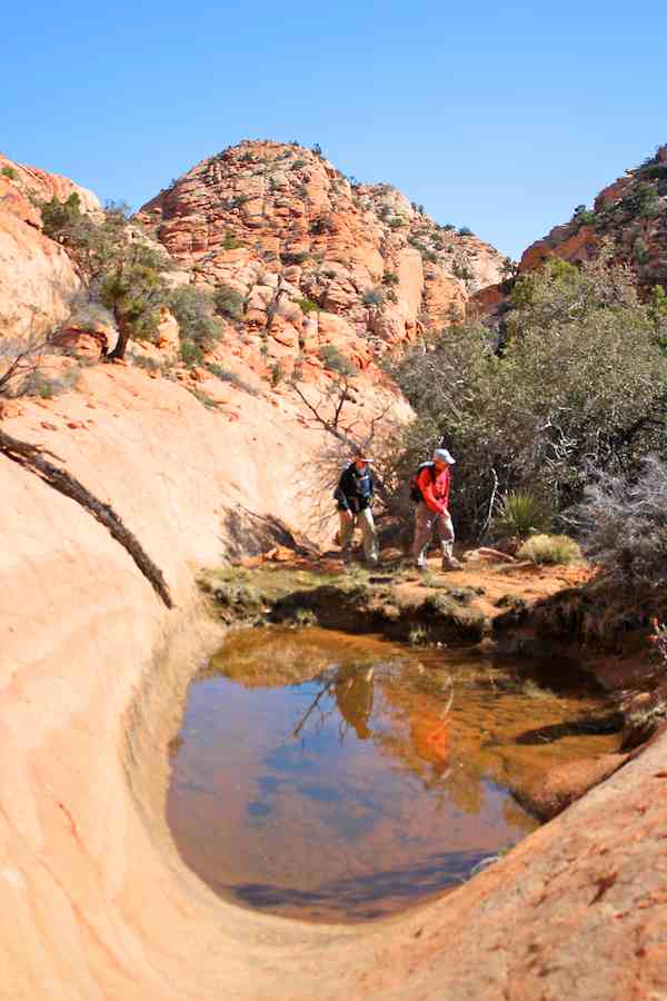
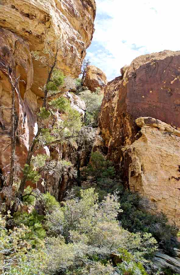
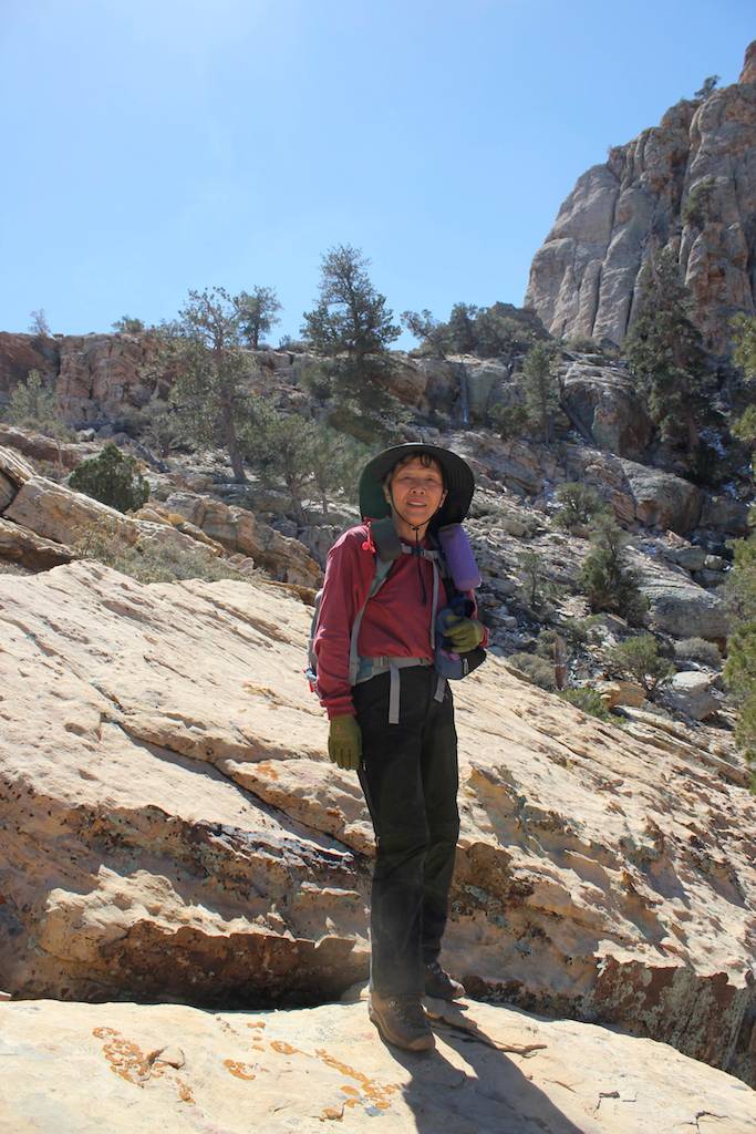
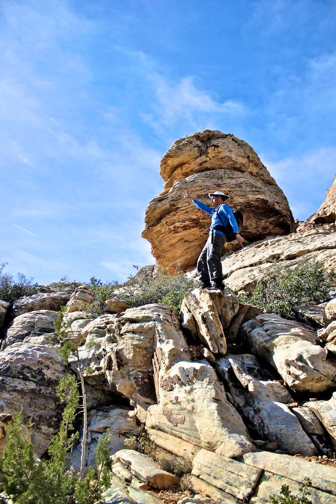
3/30/2013 Bridge Point, Red Rock, NV (8 miles) - We approached from the Fern Canyon. A lot of scrambling involved this hike. We followed one cairn after another to reach the peak. The views from the summit was beautiful even cloudy condition. The water level was much less at this year. The 1st row 2nd from left photo is courtesy by Harlan Stockman.
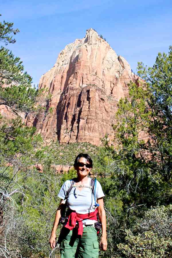
3/27/2013 Sand Bench Loop, Zion, UT (6.5 miles) - The trail was mostly the sand on the Sand Bench Loop trail, and horses made deeper and wave like figures, a means not easy to hike on the trail. However the view was wonderful. We saw few turkeys along the way. There were so many people that was not expected.
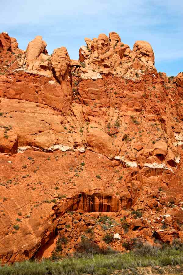
3/26/2013 Babylon, Hurricane, UT (2 miles) - When I saw this place from the Molly's Nipple, I have to come here, and I did. It is becautiful rock formation with red color. I have hiked from the Sky Mountain Golfcorse, I couldn't go father because there was the Virgin River. I'll re-visit from other side, Lee side, someother time and explore around this area.
3/26/2013 Molly's Nipple, Hurricane, UT (2 miles) - This was bonus hike for me. When I was out from the Frong Hollow Gorge, there were two young men started to hike up to the Molly's Nipple, I was watching for while and I want to hike up there, so I did. The view from the top was wide view, we can see Arizona, Zion, Pine Valley and between.
3/26/2013 Frog Hollow Gorge, Hurricane, UT (0.5 miles) - When started to hike, it was nice rock walls surronding the gorge and I was excited but ended very soon. There are ways to go up but I didn't instead of I hiked up to the Molly's Nipple and took some photos from there. Seems to there are multiple tall dry waterfalls exist.
3/25/2013 Gould Wash, UT (3.5 miles) - It is located opposite from the highway 59 of the Gooseberry Mesa. There is an abandoned golfcourse that the TH. I have hiked untill the trail/road end. There were cows on the trail and abandoned goldfcourse. I have explore inside the crater that located between the abandoned goldfourse and highway 95.
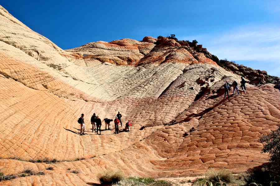
3/24/2013 Gooseberry Mesa, UT (9 miles) - It is very popular place for the mountain biking, I saw 45 bikers today on the trail and they come fast with group. It is located in the Apple Valley and not too far from the highway 59. The view was wonderful especially the unique slickrock formation. I saw many campers near the TH.
3/23/2013 Yant Flat, UT (5.6 miles) - I don't want to repeat hikes unless least 2 - 3 years aprt. I thought this hike was different place, because I was here last year, I was dissapointed myself but route was different so I cheered me up and enjoyed the hike. The color combination with pattern of rock formation is very unique and beautiful.
3/22/2013 Starvation Point, AZ (7.3 miles) - This was solo hike from the highway I-15 that less than 2 miles south of the exit Black Rock, AZ. I have hiked partially before that called Black Rock Mesa on 12/21/12. Today's route was much better view and shorter than I did before. The gorgeous view was mostly to look down the Virsin River or I-15.
3/21/2013 Burt Anderson Trail, UT (7.5 miles) - This is my 1st hike with the Red Rock Hikers meetup group in St. George. We hiked the Burt Anderson Trail and beyond. The highlight was hiked in the bottom of gully, we spreaded some of were went down into the bottom of the gully, where I was one of the them, and some of were stay on top.
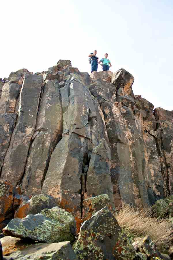
3/20/2013 Red Mountain Traverse, UT (6 miles) - It was enjoyable scrambling route. Originally I thought the mesa that the top of the cliff, was flat but not the case, there are many hills. The rocks were all red and rock formation was amazing configuration. There are nature everywhere atop of the Red Mountain, where its close to the residential area.
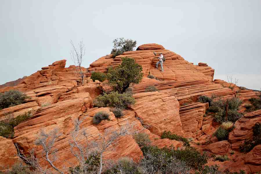
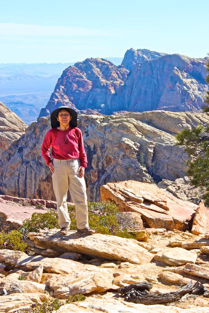
3/15/2013 White Rock Hill Peak, Red Rock, NV (3.5 miles) - Today's route was more challengeable than the I did two years ago, a means more scrambling than the before. We started to ascending from southeast and end up descending just above the parking lot after the long traverse. There are so many beautiful rock formations in this trail.
3/14/2013 Japanese Dinner Party, Las Vegas, NV - Jane is visiting from London, Orelle will go back to England soon and Kathy is my neighbor, we had a Japanese Dinner Party tonight. Jane was using chopsticks nicely, everyone like Japanese bento box dinner. We had a good time tonight. My UK trip two years ago was successful because of them.
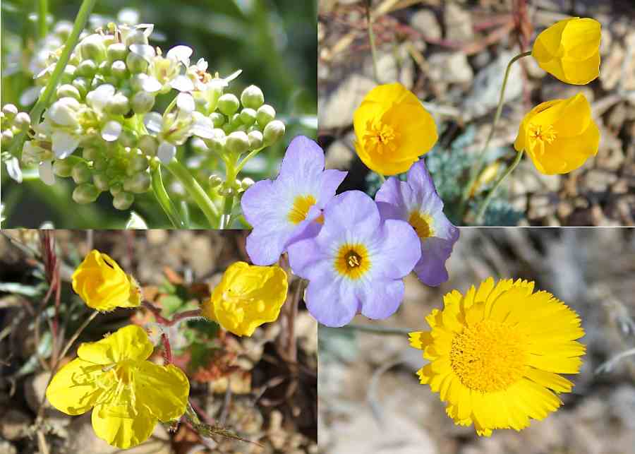
3/12/2013 The Whale (Orca), Las Vegas, NV (7.7 miles) - It is located northeast from the Red Rock and west of the Summerlin Peak. Named this peak by Richard and Eva. Richard's hiking was 3.2 miles/hr speed that relatively fast pace. I saw many flowers, definitely the spring is here, but doesn't last longer, sooner getting the hot summer.
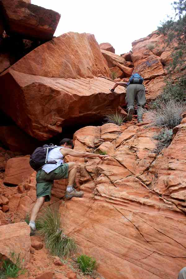
3/11/2013 Holiday Peak, Red Rock, NV (3.5 miles) - This hike was scramble after scramble, nothing but scramble. We went through few slots, and used one short rope. This peak was named by Richard, Eva and their friends, when they first hiked up there on holiday few years back. First two photos are courtesy by Harlan Stockman.
3/6/2013 Smith Center, LV, NV - I have joined to The Smith Center tour today. The Smith Center is the world-class performing arts center in Las Vegas. It cost $470 million to built and only one year old, opened on 3/10/12. Major characteristic of this center that the audiences are mainly local people not tourists.
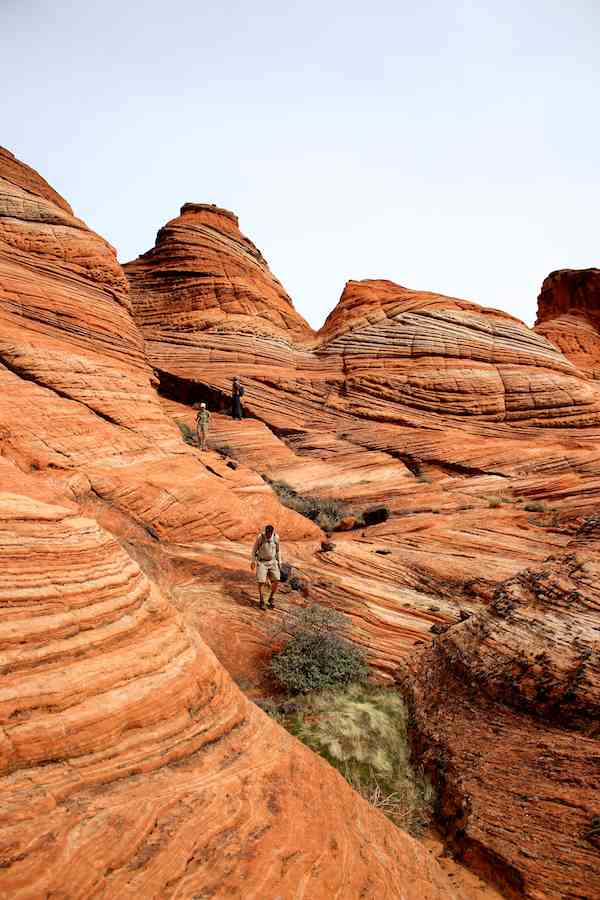
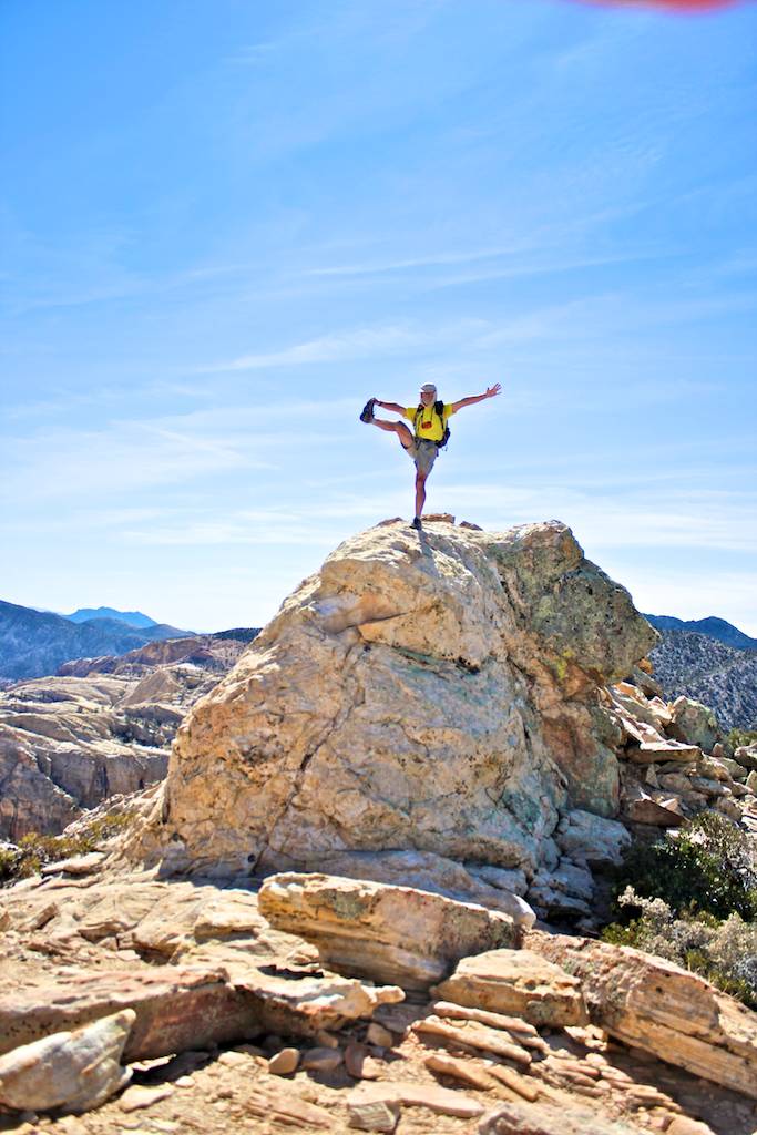
3/2/2013 Goodman Peak, Red Rock, NV (10.6 miles) - We have hiked up to the Goodman Peak from east, we scrambled up all the way to the top. After that, we hiked to two North Peaks, indicated #1 and #2. No one knows why the same name peaks exist about one mile apart. I took total 911 photos today that the new record of one day hike.