- Amole Peak
- Atascosa Lookout
- Atascosa Peak
- Aztec Peak
- Barry Goldwater Peak
- Black Mountain
- Butter Peak
- Camelback Mountain
- Fire Mountain
- Flatiron
- Fortification Hills
- Gu Achi Peak
- Guthrie Peak
- Humphreys Peak (Highest Mt in AZ)
- Keystone Peak
- Keystone Peak North Summit
- Kitt Peak
- Little Mt Ord
- Mt Bangs
- Mt Glenn
- Mt Graham
- Mt Lemmon
- Mt Logan
- Mt Ord
- Mt Perkins
- Mt Trumbull
- Mt Turnbull
- Mt Wilson
- Peanut Peak
- Picacho Peak
- Picket Post Mountain
- Piestewa Peak
- Pinal Peak
- Placer Peak
- Plain Valley Pk
- Powers Butte
- Pusch Ridge WHP
- Quartz Peak
- Radio Ridge
- Robbins Butte
- Shaw Butte
- Sierra Estrella High Point
- Signal Peak
- Silly Mountain
- South Mountain
- Sugarloaf Mountain
- Sunrise Mountain
- Superstition Mountain
- Thompson Peak
- Wasson Peak
- Willow Beach Peak
- Woolsey Peak
 |
| Gu Achi Peak West of Tucson 4,556 ft |
 |
| Keystone Peak North Summit South of Tucson 6,160 ft |
 |
| Mt Graham Southwest from Safford 10,720 ft |
 |
| Mt Wilson Nearlest town is Boulder City, NV 5,445 ft |
 |
| Picacho Peak Between Phoenix and Tucson 3,370 ft |
 |
| Placer Peak South of Tucson 5,920 ft |
 |
| Quartz Peak Southwest of Phoenix 4,052 ft |
 |
| South Mountain South of Phoenix 2,700 ft |
 |
| Superstition Mountain East of Phenix 5,059 ft |
 |
| Willow Beach Peak Lake Mohave 2,321 ft |
 |
| Amole Peak Saguaro National Park 4,422 ft |
 |
| Barry Goldwater Peak White Tank Mountain Regional Park 4,083 ft |
 |
| Fire Mountain Lake Mohave 2,531 ft |
 |
| Humphreys Peak North of Flagstaff 12,633 ft Highest Mountain in Arizona |
 |
| Guthrie Peak East of Safford 6,571 ft |
 |
| Little Mt Ord Just west side of the Mt Ord 6,114 ft |
 |
| Mt Lemmon Northwest of Tucson 9,157 ft |
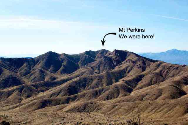 |
| Mt Perkins Nearlest town is Boulder City, NV 5,456 ft |
 |
| Piestewa Peak Nearest town is Phoenix 2,608 ft |
 |
| Pinal Peak South of Globe 7,850 ft |
 |
| Robbins Butte North of Gila Bend 1,179 ft |
 |
| Sierra Estrella High Point North of Quartz Peak 4,512 ft |
 Woolsey Peak Southwest of Phoenix 3,171 ft |
 |
| Wasson Peak Saguaro National Park 4,687 ft |
 |
| Atascosa Peak South of Tucson 6,422 ft |
 |
| Aztec Peak East of Theodore Roosevelt Lake 7,748 ft |
 |
| Butter Peak Lake Mead 2,445 ft |
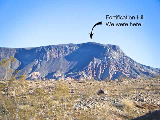 |
| Fortification Hills Lake Mead NRA - AZ side 3,718 ft |
 |
| Kitt Peak Southwest of Tucson 6,880 ft |
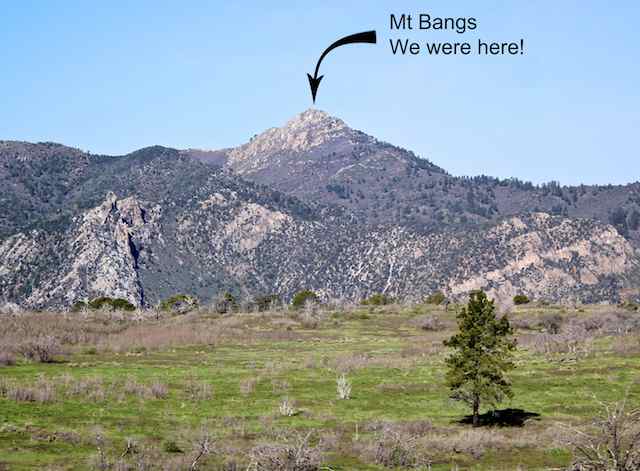 |
| Mt Bangs Nearlest town is Mosquite 8,016 ft |
 |
| Mt Ord Northwest of Phoenix 7,128 ft |
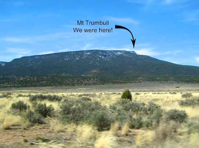 |
| Mt Trumbull Near the Troweap Overlook 8,038 ft Courtesy: Harlan Stockman |
 |
| Peanut Peak Lake Mead 2,503 ft |
 |
| Powers Butte W of Robbins Butte & N of Gila Bend 1,294 ft |
|
| Pusch Ridge Wildness High Point East and not far from Mt Lemmon 9,000 ft |
 |
| Shaw Butte North Mountain Park, Phoenix 2,148 ft |
 |
| Silly Mountain East of Phoenix by the highway #60 2,139 ft |
 |
| Thompson Peak East of Phoenix 3,982 ft |
 |
| Atascosa Lookout South of Tucson 6,257 ft |
 |
| Black Mountain Northeast of Phoenix 3,398 ft |
 |
| Camelback Mountain In the town of Phoenix 2,704 ft |
 |
| Flatiron Superstition Mountain Range 4,860 ft |
 |
| Keystone Peak South of Tucson 6,188 ft |
 |
| Mt Glenn SE of Tucson 7,480 ft |
 |
| Mt Logan Near the Troweap Overlook 7,886 ft Courtesy: Harlan Stockman |
 |
| Mt Turnbull Southeast of Phoenix 8,282 ft |
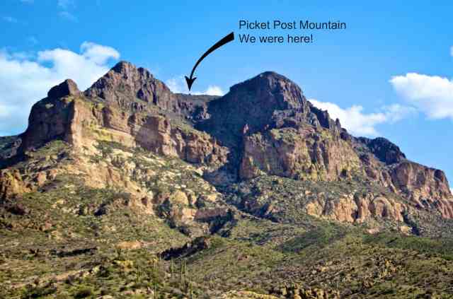 |
| Picket Post Mountain Southeast of Phenix 4,375 ft |
 |
| Plain Valley Pk Just south of Mt Graham 10,370 ft |
|
| Radio Ridge East and not far from Mt Lemmon 9,040 ft |
 |
| Signal Peak West of Pinal Peak 7,812 ft |
 |
| Sugarloaf Mountain Lake Mead 2,095 ft |
 |
| Sunrise Mountain East of Phoenix 3,060 ft |